
Location
| Location | End | The end point of the longitude and the latitude | Length(km) | ||
|---|---|---|---|---|---|
| Geographical name | The east longitude | The north latitude | |||
| Chunsaro 1004, Aphae-myeon, Shinan-gun | East | Garan ri, Aphae-myeon, Shinan-gun | 126˚ 23'' 00' | 34˚ 52'' 30' | East to West 79.3 South to north 65.6 |
| West | Sogukol do, Gageodo ri, Heuksan-myeon, Shinan-gun | 125˚ 05'' 00' | 34˚ 06'' 45' | ||
| South | Gageodo ri, Heuksan-myeon, Shinan-gun | 125˚ 05'' 30' | 34˚ 04'' 15' | ||
| North | Sobichi do, Jaewon ri, Imja-myeon, Shinan-gun | 125˚ 54'' 30' | 35˚ 12'' 30' | ||
Topography
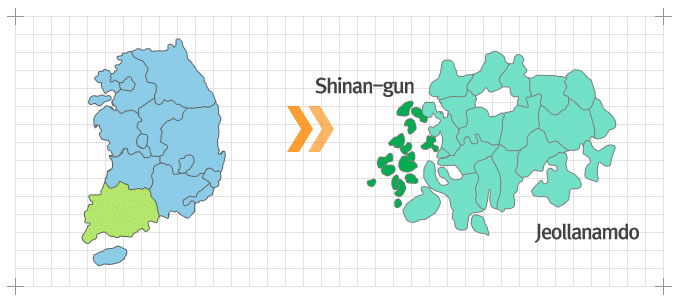
This gun was separated from Muan gun on Jan. 1, 1969. It is Dadohae close to Muan Bando on the southwest end of Korea. It is a gun composed of only islands. The east facing Mt. Yudal in Mokpo si is close to Haenam-gun, the north is close to Muan gun and Yeonggwang-gun, the south is close to Jindo gun facing Jeju do and the Pacific and over the Yellow sea, it's facing China. There are 9 agencies, 7 businesses, 12 myeons and 2 eup for overall administrations and Mokpo si is the traffic center.
Coast: This gun is composed only with islands with no mountains. The unique cost of this gun is irregular with vast beach. Water is shallow, so large ships cannot easily come in and go out.
River: There is no river in this gun. shinan is placed in Dadohae.